San Juan Shatters 89-Year-Old Rainfall Record With 1.87 Inches in a Single Day
CoquiList · With information from Primera Hora
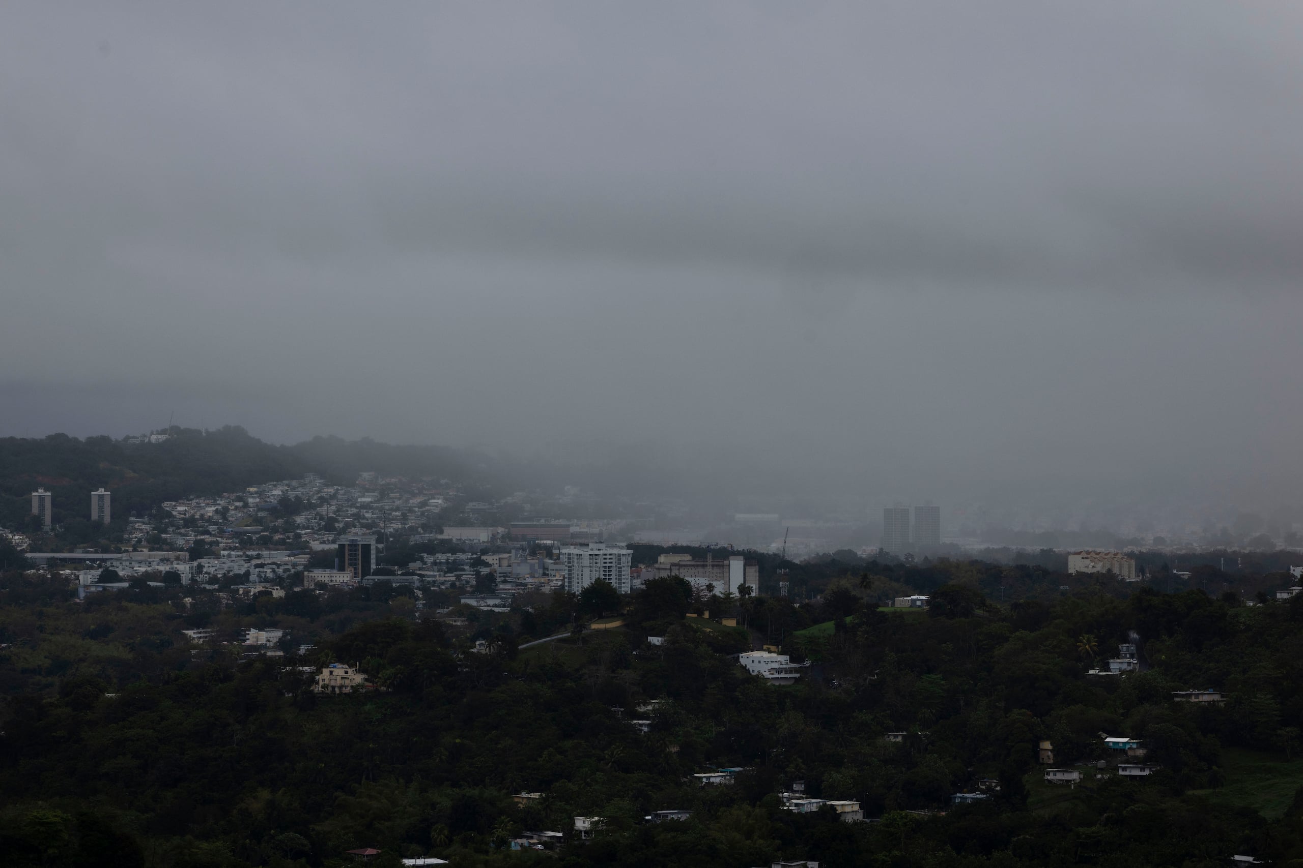
San Juan woke up Sunday, October 4, under a sky that refused to let up, and by the time the National Weather Service (NWS) in San Juan tallied the day's totals, the number surprised even career meteorologists: 1.87 inches of rain accumulated at Luis Munoz Marin International Airport, the highest amount ever recorded for an October 4 since modern record-keeping began 12. The previous mark, 1.31 inches, had stood since 1937 — 89 years 12. The gap between the two figures, just over half an inch, may not look dramatic on paper, but in tropical hydrology terms it represents a real jump in the intensity of that afternoon's downpour over the capital.
The event did not happen in isolation. Starting Sunday morning, rain bands and thunderstorms affected different sectors of the island, a pattern the NWS had been tracking as tropical moisture moved across the Caribbean 13. While San Juan was breaking its own record, things turned serious in eastern Puerto Rico: the NWS issued a flood advisory for Fajardo, Ceiba, and the Aguas Claras sector, valid until 6:30 p.m. Sunday, after the Fajardo River reached flood stage with a reading of 6.66 feet at 3:20 p.m. 3. Neighborhoods including Fajardo Pueblo, Florencio, Quebrada Vueltas, and Rio Arriba were placed at risk of flooding, and highways PR-3, PR-53, and PR-195 were reported with water rising dangerously close to the roadway 3.
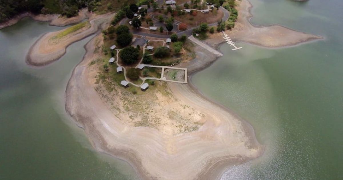
The broader climate context helps explain why this downpour made headlines. Puerto Rico has spent months under marked drought in the south and in eastern Vieques, areas that still sit in the extreme drought category, while eastern Puerto Rico recently improved to moderate drought thanks in part to rain events like this one 4. It is the kind of contradiction typical of Caribbean weather in early fall: a single system can bring relief to reservoirs and, within hours, push a river over its banks at the same time.
Key numbers
- 1.87 inches: rainfall accumulated in San Juan on October 4, 2026, measured at Luis Munoz Marin Airport 12
- 1.31 inches: previous record for that date, set in 1937 12
- 89 years: how long the previous record stood before being broken 12
- 6.66 feet: Fajardo River level at 3:20 p.m., above flood stage 3
- 3 major highways at risk of flooding: PR-3, PR-53, and PR-195 3
- The NWS forecast calls for an additional tropical wave Wednesday into Thursday this week, with drier conditions returning Friday 4
What it means for you
If you live in the San Juan metro area, this record confirms what you likely already felt on Sunday: flooded streets, slow traffic, and storm drains overwhelmed within minutes. For residents of Fajardo, Ceiba, and communities near the Fajardo River, the flood advisory should have been treated as a real alert, not routine, given that the river exceeded flood stage. For the rest of the island, the takeaway is that October is arriving with an unstable pattern: the same system that breaks rainfall records in the metro area can trigger flash flooding in riverside communities dozens of miles away. And for those who depend on eastern reservoirs, the rain is, with some nuance, good news after months of drought.
How to prepare / Checklist
- Check the NWS San Juan forecast (weather.gov/sju) before heading out, especially Wednesday and Thursday when the next tropical wave is expected 4.
- If you live near the Fajardo River or in Florencio, Quebrada Vueltas, or Rio Arriba, have an evacuation plan ready and never cross flooded areas on foot or by vehicle 3.
- Avoid low-lying sections of PR-3, PR-53, and PR-195 during heavy downpours until authorities confirm the river level has dropped 3.
- Clear storm drains in front of your property before the next heavy rain to reduce the risk of rapid water buildup.
- If you swim or do water sports, check the rip current risk, which remains moderate along the north and east coasts through Thursday 4.
- Keep important documents in sealed bags if you live in a flood-prone zone; a record-breaking downpour can happen again without much warning.
What's next
The NWS is already tracking a new tropical wave approaching Puerto Rico between Wednesday and Thursday this week, which would keep the risk of afternoon flooding active for several more days before drier conditions arrive Friday 4. Meanwhile, the October 4 record is now officially archived in the NWS's San Juan statistics and will serve as the benchmark the next time a rain system approaches the capital during this time of year. Emergency management authorities have not announced major structural damage, but the pattern of intense rainfall followed by additional tropical waves suggests October — traditionally an active month in the Caribbean — will keep coastal and riverside municipalities on constant alert.
Sources
CoquiList summary and local context. Read the linked sources for the original reporting.
Ask about this story
Ask anything about this article — in English or Spanish.
Log in to ask about this story.
Comments (0)
Log in to join the conversation.
No comments yet — be the first.